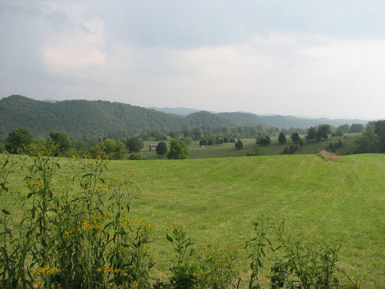

Washington County, Virginia
In 1776 the Virginia legislature looked at a map and split off the southwestern corner of the colony into a new county. The general fighting their war had not yet won it - George Washington that summer was retreating across New Jersey with an army that was disintegrating. Naming a county for him was a political wager. If he lost, the name would be embarrassing. If he won, it would be one of the first counties anywhere honoring the man. Washington County, Virginia, became one of the very first geographic regions in America named for the future president, two and a half years before the Treaty of Paris was even possible.
Before Virginia
The land had been lived in for thousands of years. The Chisca had a chief village near what is now Saltville until Spanish soldiers destroyed it in 1568. The Cherokee took control of the broader region from the Xualae around 1671, and held it until the 1770 Treaty of Lochaber transferred the territory to the Virginia Colony. The Cherokee did not accept the loss quietly. In July 1776, Chief Dragging Canoe led an attack on Black's Fort - the stockade at what is now Abingdon - in a series of raids during the Cherokee-American Wars. Chickamauga raids continued through the 1780s and early 1790s until the war leader Bob Benge was killed by settlers in 1794. The frontier closed gradually, county by county, treaty by violated treaty.
The Shape of the County
Washington County was much bigger when it started in 1776. The legislature kept carving pieces off as the population grew. In 1786 the northwestern corner became Russell County. In 1814 the western reach was combined with parts of Lee and Russell to form Scott County. In 1832 a chunk of the northeast joined part of Wythe to form Smyth County. The final adjustment came in 1890 when the town of Goodson was incorporated as the independent city of Bristol and lifted out of the county entirely. After that, Washington County reached its present 566 square miles, almost all of it land, draining into the Holston River system on its way to the Tennessee River and ultimately the Mississippi.
A Literary Place
Barbara Kingsolver - the novelist who won the Pulitzer and the Women's Prize for Fiction for Demon Copperhead in 2023, a contemporary retelling of David Copperfield set in southwest Virginia coal country - lives in Washington County. She farms here. The county has produced governors (David Campbell, John B. Floyd, Wyndham Robertson), congressmen (Frederick Boucher, Connally Findlay Trigg), one of the first NASCAR champions (Red Byron, who won the 1949 Strictly Stock title that became the Cup Series), a U.S. ambassador (John Reinhardt), and the writer-novelist whose work has helped reshape how outsiders see Appalachia. The Crooked Road - Virginia's Heritage Music Trail - winds through the county. Towns like Damascus serve as trailheads where the Appalachian Trail and the Virginia Creeper Trail meet.
After Helene
Hurricane Helene swept north through the southern Appalachians in late September 2024 with rain that washed out roads and bridges across Damascus and the southern parts of Washington County. The Appalachian Trail community in Damascus took the brunt of it. On January 27, 2025, Vice President JD Vance and Governor Glenn Youngkin came to the county to meet with survivors and review recovery progress - the kind of visit that comes after the cameras have left and the rebuilding is grinding. The county's 53,935 people, scattered across seven magisterial districts and four towns, picked up the work that always comes after the water recedes. Washington County has been doing variants of this - rebuilding, adjusting, holding on - since 1776.
From the Air
Washington County sits at 36.72 N, 81.96 W in the southwestern corner of Virginia, with Abingdon as its county seat at about 2,070 feet elevation. The county covers 566 square miles in the Great Appalachian Valley between Iron Mountain to the south and Clinch Mountain to the north. Part of the Jefferson National Forest and Mount Rogers National Recreation Area lie within county limits. Nearest airports: Virginia Highlands (KVJI) at Abingdon, Tri-Cities Regional (KTRI) to the southwest. Recommended viewing altitude 4,500 to 7,500 feet MSL to take in the full valley structure. The Holston River system drains the entire county southwestward.
Nearby Stories
- Wise County, Virginia 6.2 km away
- Sycamore Shoals 16 km away
- David Crockett Birthplace State Park 21 km away
- Tazewell County, Virginia 24 km away
- Big Stone Gap, Virginia 28 km away
- Buchanan County, Virginia 40 km away
- Moravian Falls, North Carolina 47 km away
- Wytheville Raid 54 km away