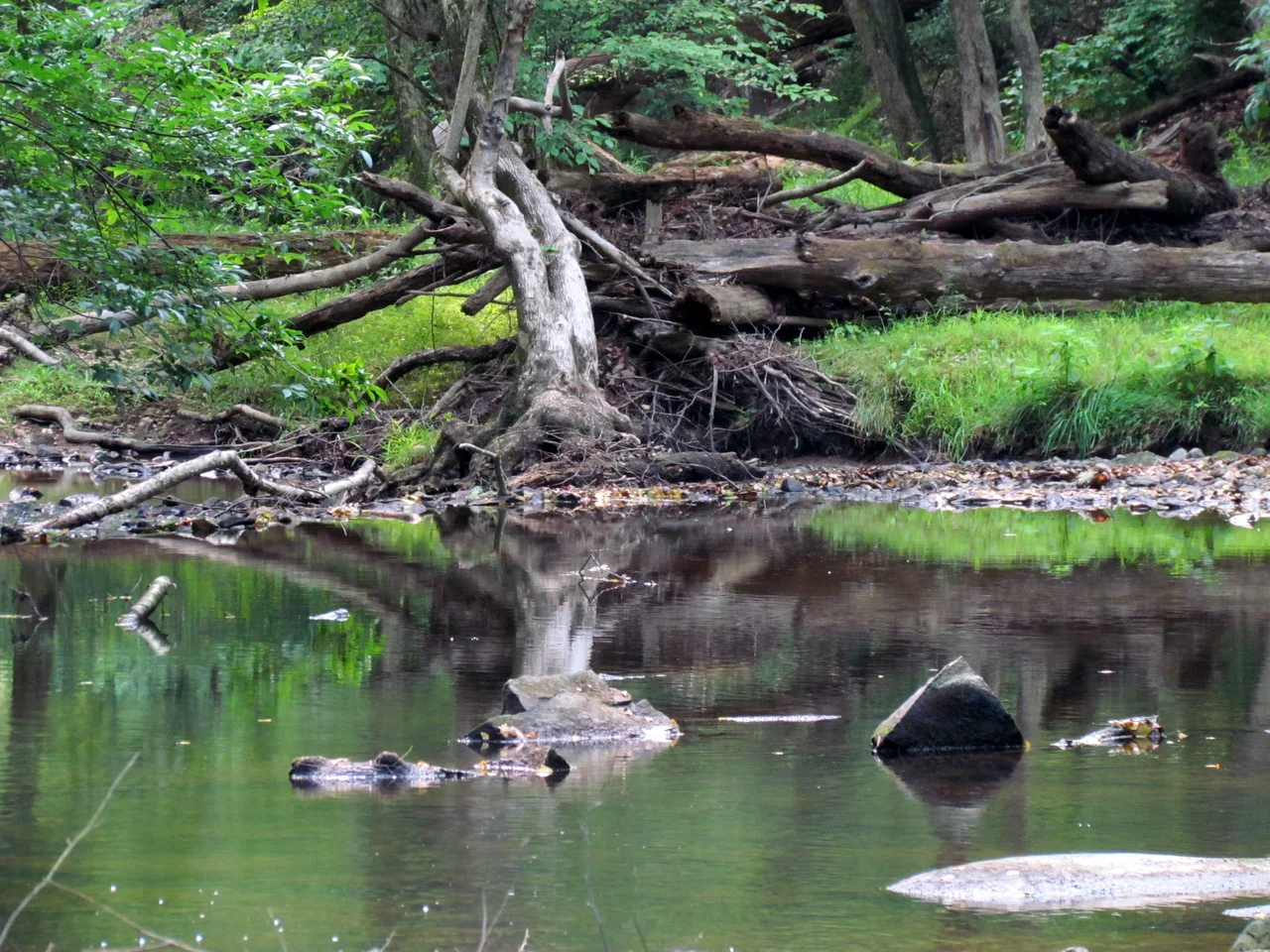

William B. Umstead State Park
By 1934, the soil along Crabtree Creek was finished. Generations of single-crop farming had stripped the land — first the rich Piedmont topsoil, then the will of the farmers trying to grow cotton in dust. In the depths of the Depression, the federal Resettlement Administration came in and bought five thousand acres of land too tired to feed anyone, and the Civilian Conservation Corps came in behind them with axes and shovels to put a forest back. The park opened in 1937. Today William B. Umstead State Park covers 5,442 acres of recovered forest, hemmed in by Raleigh-Durham International Airport on the west, Interstate 40 on the south, US 70 on the north, and the western edge of Raleigh on the east — a green island in the densest growth corridor in North Carolina.
Before the Cotton
Long before the first European settlers, American bison roamed forests of oak, hickory, and beech here, alongside elk, bobcats, and wolves. Native Americans developed trade routes through the area — the Occoneeche trail to the north, the Pee Dee trail to the south — connecting the Piedmont to the coastal plain and the mountains beyond. Land grants in 1774 opened the area to settlement, and for the next 150 years the forests were cleared, the soil was tilled, and the ecosystem that had held its shape for thousands of years was undone in a few generations. By the 1920s, farmers were trying to coax cotton from soil that would not even hold rain.
What the CCC Built
Between 1936 and 1947, Civilian Conservation Corps crews and Works Progress Administration workers rebuilt the land. They cleared overgrown fields, planted trees, dug picnic shelters out of native stone, and constructed four camps: Sycamore and Crabtree among them, each designed for a different group, in a then-segregated park system that mirrored the segregated state around it. They built dams that created the artificial lakes that now dot the park, part of a flood-control plan that has shaped Wake County's water for generations. The park opened to the public in 1937. The four CCC camps still anchor the park's recreation areas. The work was hard, the wages were small, and the result was a forest that grew back.
A Park Inside a City
Reedy Creek Road runs three and a half miles through the heart of Umstead, closed to all but ranger vehicles. On either end, it opens to traffic and becomes a connector — east to the North Carolina Museum of Art, south through Cary, west to Lake Crabtree County Park and the Black Creek Greenway. Hikers loop the Company Mill trail in the south or the Sycamore Trail in the north, both moderate, both threaded along creek beds where rock outcrops break the canopy. The East Coast Greenway, a 3,000-mile trail system running from Maine to Florida, passes through. Above all of it, every few minutes, jets climb out of RDU, banking over a forest that exists because someone decided exhausted land deserved a second chance.
Piedmont Beech
Tucked inside the park, accessible only by special permit, sits the 61-acre Piedmont Beech Natural Area, designated a National Natural Landmark in 1974. It protects a mature mesophytic forest, the kind of mixed hardwood community that once stretched across much of the Piedmont before agriculture rewrote the landscape. Some of the beech trees standing here are old enough to have shaded the original CCC workers. The permit system keeps the area genuinely undisturbed, and inside it visitors can see, for an hour or two, something close to what the Piedmont looked like before plows arrived.
Bordered by Everything
What makes Umstead unusual is not its trees but its position. Raleigh-Durham International Airport runs its primary runway parallel to the park's western boundary, jets passing low overhead at all hours. Interstate 40 hums on the south. The western suburbs of Raleigh, growing every year, press at the eastern edge. Inside the park, the Crabtree Creek floodplain holds the loud world at arm's length. The park is named for William B. Umstead, governor of North Carolina from 1953 to 1954, whose brief term included environmental advocacy that helped expand the state park system he never lived to see flourish.
From the Air
Centered at 35.85N, 78.74W between Raleigh and Durham. RDU airport (KRDU) borders the park on the west — the primary runway is roughly half a mile from park boundaries, meaning most arriving and departing aircraft pass directly over the forest. I-40 forms the southern boundary, US 70 the northern. Best viewed from low altitudes; the contrast between the unbroken forest canopy and the surrounding urban density is striking from any direction.
Nearby Stories
- Sanford, North Carolina 7.6 km away
- Wilson, North Carolina 12 km away
- Cherry Hospital 13 km away
- Campbell University 19 km away
- North Carolina Tornado Outbreak of April 2014 21 km away
- Neuse River 23 km away
- Coal Glen Mine Disaster 26 km away
- Alamance County, North Carolina 27 km away