
Bode Gorge
In 1760 an innkeeper in the Bode Gorge had a passage about twenty metres long hewn out of the rock, and then entertained his guests by firing gun salutes into it to hear the echo come back. The trick worked. He also sold the spring water from inside the cave as Lebenswasser, water of life. Heinrich Reckleben ran the inn for many years and eventually lost his hearing to the salutes, which the memorial plaque beside the old entrance politely records. He died when a beer coach ran him over. The cave, the Schallhöhle, is closed off by a grille now, and the story is one of dozens attached to a ravine where nothing seems to have been left unnamed or unexplained.
Three Hundred Million Years, Then Water
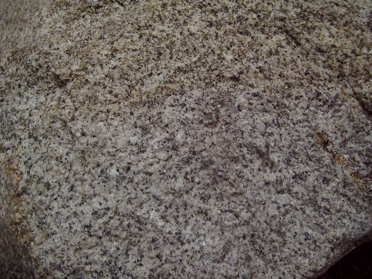
The gorge runs ten kilometres between Treseburg and Thale, and it deepens as it goes: about 140 metres at the upstream end, some 280 metres where it breaks out of the mountains into the Harz Foreland. The rock doing the work is Ramberg granite, which rose and solidified around 300 million years ago in the Upper Carboniferous, and the Bode — which begins its life high on the Brocken — has been sawing into it ever since. The colour changes as you walk. Granite dominates the front section, pale from its high proportion of white feldspar and greyed a little by quartz. Behind that, the river cuts through hornfels, slate, argillite and greywacke, and the walls and even the riverbed turn markedly darker. It was declared a nature reserve on 5 March 1937, and the protected area now covers 473.78 hectares, among the largest in Saxony-Anhalt.
Wild Bode, Tame Bode
Inside the ravine the river is between seven and twenty-five metres wide and drops a hundred metres over seventeen kilometres. Its bed has never been engineered, and it shows: kettle holes, rapids and scoured hollows alternate with gravel islands and flat banks. Locals distinguish the Zahme Bode, the tame stretch through the hornfels, from the Wilde Bode further down, where the water has forced its way through blocks of granite. It is not a predictable river. During the devastating floods of New Year 1925 it discharged 350 cubic metres a second; in the summer of 1926 it nearly stopped altogether, at about a third of a cubic metre. Serious floods also came in 1667, in 1730 and in April 1994. In 1891 engineers proposed impounding the river inside the gorge itself, with a 150-metre dam at the Bodekessel. That plan was dropped, which is the single reason there is anything here to walk through.
The Hoofprint and the Hound
Almost every rock in the gorge carries a story, and most of them belong to one cycle. Princess Brunhilde, pursued by the giant Bodo, is said to have leapt the ravine on a white horse; Bodo fell in, gave his name to the river, and became the hound that guards her lost crown at a kettle hole called the Kronensumpf. A monk who watched him fall turned to stone. The hoofprint from that leap is shown to visitors on the granite of the Rosstrappe, 403 metres up on the northern side, though geologists read the hollow as the weathered remains of a Germanic altar basin. Across the gorge stands the Hexentanzplatz, the Witches' Dance Floor, and above the narrowest point is the Teufelskanzel, the Devil's Pulpit, from which the devil is supposed to have addressed them. The Bodekessel itself has a creation myth involving Germanic gods breaking open the rock wall. In fact it was scoured out beneath a low waterfall, and that waterfall was blasted away in the late eighteenth century so timber rafts could get down the river.
What Lives in the Shade
The gorge packs an unusual number of habitats into a short distance, because a south-facing slope here is dry and warm while the north-facing wall opposite is cool and damp and the valley floor is cooler still. Steep slopes carry scree woods of lime and sycamore, dry oak and birch woods, rock meadows of cheddar pink and Alpine aster, and open crags. Old yews grow in a side valley named for them. Wildcat, Bechstein's bat, peregrine falcon, black stork and middle spotted woodpecker all use the ravine as refuge. Dippers and grey wagtails work the water for insects, and in spring fire salamanders come out to breed in the shallows, which is the main reason walkers are asked to stay on the path. The Bode itself runs fast, clean and shaded, and holds brown trout, bullhead, loach, stickleback and minnow.
Everyone Came to Look
The list of people who walked this path reads like a syllabus of German letters: Klopstock in 1771, Goethe in 1784, Alexander von Humboldt in 1790, Novalis in 1797, Eichendorff in 1805, Theodor Fontane twice, in 1848 and 1868. Goethe spent his visit studying the jointing of a granite block in the river below a pinnacled rock formation the locals called the Seven Brothers; on 28 August 1949, the two hundredth anniversary of his birth, those rocks were renamed the Goethefelsen. The gorge still draws hundreds of thousands of people a year and is one of the leading destinations in Saxony-Anhalt. It can only be walked. Cycling and riding are impossible in a ravine this narrow, and climbing off the paths, canyoning, rafting and whitewater canoeing are all banned outright to protect the biotope. Between Thale and Treseburg the trail zigzags up pinch points and crosses walkways bolted over the rock.
From the Air
The gorge lies at 51.7356°N, 11.0097°E, running roughly southwest to northeast from Treseburg down to Thale. From the air it is a dark, sharply incised notch slicing into the eastern edge of the Harz, unmistakable because it is the point where the forested upland stops abruptly and the flat Harz Foreland begins. The mouth at Thale is flanked by two prominent cliff-top plateaus: the Rosstrappe at 403 m on the north side and the Hexentanzplatz opposite, both with visible buildings and cable-car stations. The Rappbode reservoir sits about 12 km west, and the pale line of the Teufelsmauer runs across the foreland a few kilometres north. Best viewing is 2,500-4,000 ft AGL on a low sun angle, when the ravine's shadow makes its depth legible; at midday it flattens out and disappears into the tree cover. Nearby airports include EDDP (Leipzig/Halle) to the southeast, EDVE (Braunschweig-Wolfsburg) to the north and EDDV (Hannover) to the northwest. Expect valley fog on autumn mornings and mechanical turbulence over the gorge rim in strong westerlies.
Nearby Stories
- Domfelsen 10 km away
- Kyffhäuser Monument 10 km away
- Schöningen spears 13 km away
- Herzog August Library 15 km away
- Upper Harz Water Regale 15 km away
- German National Academy of Sciences Leopoldina 25 km away
- 1st German Bratwurst Museum 36 km away
- Magdeburg Cathedral 40 km away