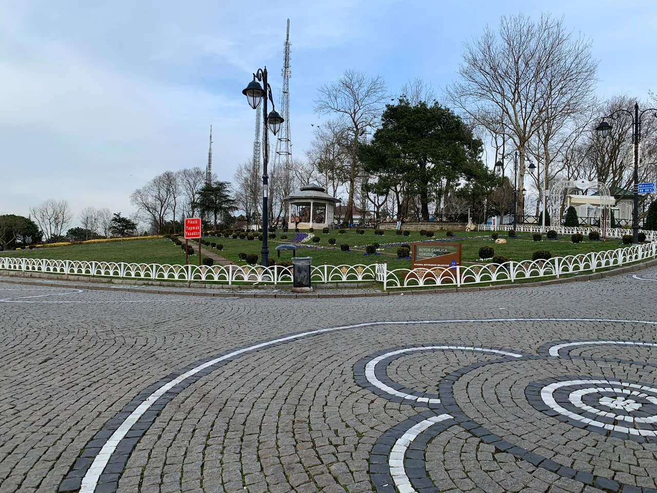

Çamlıca Hill
On a clear morning in Istanbul, residents of the Asian side have always known which way to look for a sense of scale. Çamlıca Hill rises 288 metres above sea level in the Üsküdar district — the highest point on the Asian shore — and from its crest the city unravels in every direction: the Bosphorus threading south toward the Sea of Marmara, the Golden Horn cutting inland to the northwest, the minarets of the historic peninsula rising across the water. It is the hill from which Istanbul makes the most sense.
The View That Defined a Hill
Geography gave Çamlıca its importance long before anyone built anything on it. At the point where the Asian hills of Istanbul reach their greatest height, the site commands a panorama that takes in both the European and Asian shores simultaneously — a view that does something rare, which is to make Istanbul's two-continent identity comprehensible from a single vantage point. The southern Bosphorus opens below, its traffic of container ships and tankers moving between the Black Sea and the Mediterranean. On the far shore, the Sultanahmet skyline — Hagia Sophia, the Blue Mosque, the Topkapi walls — assembles itself at roughly eye level on clear days. The combination has drawn visitors for as long as Istanbul has had visitors worth counting.
A Hill Crowded with Masts
For much of the twentieth century, Çamlıca's summit was not particularly graceful. Television and radio towers proliferated across the hilltop as broadcasting needs expanded — each broadcaster erecting its own structure without any coordinated plan, until the skyline above the hill became a tangle of steel lattice and cables. By the 2010s, the Turkish Ministry of Transport and Infrastructure had identified the visual clutter as a problem worth solving. The solution was consolidation: remove the competing structures and replace them with a single purpose-built tower designed to handle all broadcasting needs while freeing up the land around it.
Çamlıca Tower: One Mast to Replace Them All
Çamlıca Tower opened on 29 May 2021, a date chosen deliberately — it marks the anniversary of the Ottoman conquest of Constantinople in 1453, a date that carries considerable symbolic weight in Turkish civic culture. At 369 metres, the tower is Istanbul's tallest structure, and it does what the collection of masts before it never could: it functions as a destination in its own right. Observation decks and restaurants occupy the upper floors, giving visitors a vertical experience of the panorama that the hilltop has always offered horizontally. The land around the tower's base, once given over to competing infrastructure, was landscaped and returned to public use. The change is significant: Çamlıca Hill is now both a working broadcasting facility and a park.
Big and Little Çamlıca
To avoid confusion, the hill is sometimes called Big Çamlıca, distinguishing it from Little Çamlıca Hill nearby in the same Üsküdar district. The two hills share the same pine forests that give them their name — çamlıca derives from çam, the Turkish word for pine tree — and they function together as the high ground of Istanbul's Asian interior. Little Çamlıca has its own park and viewpoints, but it is the larger hill with its new tower that has become the focal point. Together they form a kind of natural balcony above one of the world's most geographically dramatic cities, a place where the land insists on reminding you of the water on every side.
From the Air
Çamlıca Hill sits at approximately 41.028°N, 29.068°E in the Üsküdar district on Istanbul's Asian side. At 288 metres above sea level — and with the Çamlıca Tower rising 369 metres from its base (reaching 587 metres above sea level) — it is the most visually prominent landmark on the Asian shore and unmistakeable from the air. Sabiha Gökçen International Airport (LTFJ) lies approximately 20 km to the southeast; pilots on approach to LTFJ from the west pass close to the hill. From 4,000–6,000 feet, the Bosphorus strait, the historic peninsula, and the sprawl of Asian Istanbul are all simultaneously visible. Exercise caution around the tower's height when flying at low altitudes in the area.
Nearby Stories
- Kocaeli Peninsula 7.6 km away
- Second Battle of Çatalca 11 km away
- Istanbul's Rural Outskirts 14 km away
- MV Struma 20 km away
- HMAS AE2 36 km away
- Bursa 66 km away
- Sangarius Bridge 71 km away
- Januarius MacGahan 101 km away