Haan
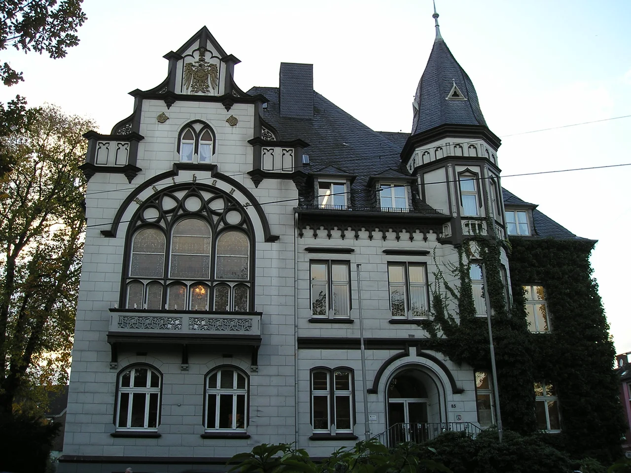
If you walked into a Rhineland gardening shop a century ago and asked where the seeds came from, the answer was often the same: a town just up the road called Haan. In the 19th century, residents here were assigned deep garden plots behind their houses, and seed trading grew into a serious local industry. The habit stuck. On July 14, 2017, the state of North Rhine-Westphalia made the nickname official, granting Haan the right to add "Gartenstadt" — Garden City — to its name.
The Edge of the Bergisches Land
Haan sits at the western edge of the Bergisches Land, the rolling, wooded country east of the Rhine. From the air, the town reads as a soft green smudge between two larger neighbors — Düsseldorf 17 kilometers to the west, Wuppertal 12 kilometers to the northeast. The terrain rises gently here, the first hint of the uplands that climb away toward the Sauerland. Settlement on this spot is old enough to make most of Germany look young: archaeologists trace the original ringed enclosure on what is now the town center back to around 2200 BC, fortified with rampart, palisade and hedging. The name itself likely derives from Hagen, an old word for a hedged grove.
A Border Town for a Thousand Years
From 718 onwards, Haan sat near the moving border between Saxon and Franconian territory. The road that now runs as Kaiserstrasse was once a Franconian military route, and a small camp economy of sutlers grew up along it to feed and supply passing troops. The chapel raised on the old church square was consecrated in 935 by Archbishop Wichfried of Cologne, and for centuries the parish was a satellite of the larger church in Hilden, just down the road. Borders kept shifting around Haan even when Haan itself did not move. It belonged to the Duchy of Berg, then briefly to Napoleon's France as the "Mairie Haan" after 1808, then to Prussia after 1815. City rights finally arrived in 1921.
Grinders, Weavers, Trains
Long before garages and logistics parks, two trades defined working life here: grinding and weaving. The first written evidence of grinders in Haan dates to 1589, of weavers to 1724. Both flourished until the 20th century, feeding the same dense Bergisches Land economy that turned nearby Solingen into a cutlery capital. The railway changed everything in 1841, when the Elberfeld–Gruiten–Düsseldorf line stitched Haan into the expanding Prussian network. A second line followed in 1867, and by 1899 trams ran from Benrath through Hilden and on to Vohwinkel, threading the small town into the daily life of two big ones. Today, names like Daimler Truck and Rockwell Automation occupy the industrial parks, but the older trades shaped the streetscape first.
The Last Winter of the War
Haan came through the Second World War largely intact, but not unscathed. At the turn of 1944 to 1945, Allied bombs fell on residential streets in Upper and Middle Haan on New Year's Eve and New Year's Day. Seventy people were killed. American troops entered the town on April 16, 1945, and were replaced by British forces that July. The neo-Gothic Catholic church from 1869 was replaced in 1956 by the modern church of St. Chrysanthus and Daria — a name as old as Haan's faith, attached to a building that belongs entirely to the postwar Rhineland.
A Garden City, Officially
What sets Haan apart is not industry or war but soil. The 19th-century habit of generous garden plots, the seed trade that grew alongside them, and a careful preservation of green space gave Haan something its neighbors could not honestly claim. By the time the state granted the official "Garden City" suffix in 2017, locals had been using the term for generations. The town has hovered around 30,000 inhabitants for decades — steady, green, easy to overlook from the autobahn and the train window — exactly the kind of place that quietly defines what the Rhineland actually feels like to live in.
From the Air
Coordinates 51.20°N, 7.01°E. Cruising over the western Bergisches Land, Haan sits roughly midway on the line between Düsseldorf International (EDDL) about 20 km to the northwest and Wuppertal. Cologne/Bonn (EDDK) lies about 40 km south. Best viewing altitude 3,000–6,000 ft to pick out the wooded ridges and the green wedges of garden plots between residential blocks. The Wupper valley and Wuppertal's distinctive Schwebebahn corridor lie just to the east.
Nearby Stories
- Lindenstraße 0.4 km away
- German Football Museum 5.4 km away
- Diamond Interchange: How a Simple Idea Reshapes Towns Like Julich 7 km away
- Gladbeck 12 km away
- Hagen Open-air Museum 12 km away
- Homburg Castle 13 km away
- RAF Bruggen 15 km away
- Weeze 16 km away