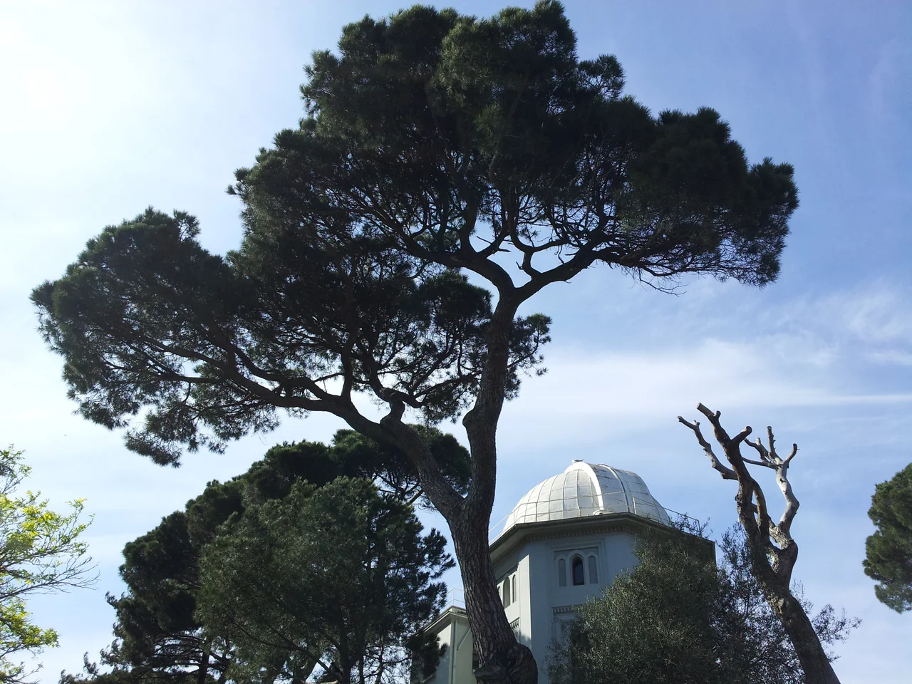

Kandilli Observatory
Professor Fatin Gökmen stood on a hill above the Bosphorus in 1910, surveying possible sites for a new observatory. The old one was gone — rebels had burned it to the ground during the 31 March Incident the previous year, an uprising that shook the final years of the Ottoman Empire. Fatin needed somewhere elevated, stable, and clear of urban interference. He chose the hill at Kandilli, on the Asian shore. Systematic observation began on July 1, 1911, and the institution has been watching the sky and the earth from that hillside ever since.
An Imperial Foundation
The observatory's origins predate the hill at Kandilli. It was established in 1868, during the late Ottoman period, on the European side of Istanbul — the Rumelian shore — and given the grandiose title of Imperial Observatory. Its original mandate was practical rather than purely scientific: accurate timekeeping for the empire, and weather forecasting for a city whose geography made meteorology essential. The observatory served these purposes for four decades, long enough to develop a modest but real scientific program. Then the political upheaval of 1909 interrupted everything. The rebels who destroyed it were not targeting science; they were fighting for or against the constitutional revolution sweeping the empire. But science suffered the consequences.
Reconstruction and a New Science
The move to Kandilli transformed the institution. The new site offered something the Rumelian location could not: a commanding view of the Bosphorus, clear skies above the Asian hills, and, crucially, a geographic position at the seismic crossroads of Anatolia. Over the following decades, the observatory's focus evolved. Weather forecasting and astronomy remained; seismology was added and eventually came to define the institution's identity. The name changed several times over the years. In 1940 it became the Kandilli Observatory, Astronomy and Geophysics — an acknowledgment of the broadening scope. In 1982, when the observatory was annexed to Boğaziçi University, its institutional life entered a new chapter. The current name, Kandilli Observatory and Earthquake Research Institute — abbreviated KOERI — captures what it has become.
What KOERI Does
Today, KOERI is Turkey's primary center for monitoring and studying seismic activity. On the Kandilli campus, the observatory runs departments in earthquake engineering, geodesy, and geophysics, alongside laboratories for astronomy, geomagnetism, meteorology, and optics. A National Earthquake Monitoring Center sits within the campus, as does a Disaster Preparedness Education Unit, a Sun Tower, and an Institute for Biomedical Engineering. Outside the campus, KOERI operates remote monitoring stations — including the Belbaşı Nuclear Tests Monitoring Center in Ankara Province and a center for reducing earthquake damage in Iznik, in Bursa Province. The scope is considerable. This is not a museum piece but a working institution, tracking the movements of a fault system that runs beneath one of the world's great cities.
A Hill Above Two Continents
Standing on the Kandilli hillside, you can see both shores of the Bosphorus — Europe to the west, Asia below your feet. The strait narrows here, and on clear days the minarets of the Old City are visible through the haze to the southwest. It is a place from which the geography of Istanbul becomes suddenly comprehensible: the water dividing the continents, the city sprawling across both banks, the hills of Anatolia rising behind you. For an observatory that began by tracking stars for an empire and now listens for the tremors that could undo a metropolis, the view feels appropriate. The earth that KOERI monitors is the same earth on which Istanbul was built, and the two cannot be separated.
From the Air
Kandilli Observatory is located at 41.06333°N, 29.06222°E on the Asian shore of the Bosphorus in the Üsküdar district of Istanbul. The nearest major airport is Sabiha Gökçen (LTFJ), approximately 25 kilometers to the southeast. At 2,000 feet, the Bosphorus is the dominant feature; Kandilli's hill rises clearly on the eastern bank, just north of the Fatih Sultan Mehmet Bridge. The observatory's distinctive Sun Tower and campus buildings are visible. The narrowing of the strait at this point — where Asia and Europe come closest — is particularly evident from the air.
Nearby Stories
- Kocaeli Peninsula 7.6 km away
- Second Battle of Çatalca 11 km away
- Istanbul's Rural Outskirts 14 km away
- MV Struma 20 km away
- HMAS AE2 36 km away
- Bursa 66 km away
- Sangarius Bridge 71 km away
- Januarius MacGahan 101 km away