Leybucht
On 26 December 838, the sea took the coast. The first reliably recorded storm surge along what is now the Dutch and German North Sea shore drowned about 2,500 people in a single night and gouged a new bay into the East Frisian flatland. That bay was the Leybucht. For the next thousand years, East Frisians would slowly take it back - dyke by dyke, polder by polder - until almost nothing was left. Then, in the late 20th century, they stopped. The bay you can see today is what remains of a long, patient argument between people who needed farmland and a coastline that kept changing its mind.
The Bay That Grew and Then Shrank
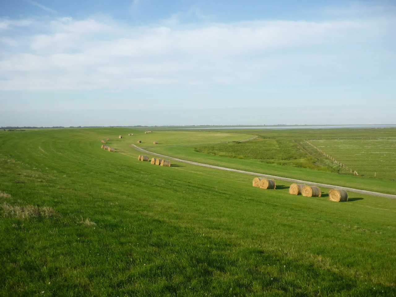
After the 838 storm surge, the Leybucht began as a coastal bite out of East Frisia. Two further catastrophic storm surges, in 1374 and 1376, pushed the bay to its maximum extent: 129 square kilometres of water reaching from Greetsiel in the west to Marienhafe in the east and from the edge of Norden in the north down to Canhusen in the south. At its peak, the bay was a sprawling tidal landscape, with villages drowned beneath it and others left abruptly seaside. Then the dykes started going up. Generation after generation, East Frisians threw earth banks across the mudflats, drained the enclosed land, and turned it into polders - flat black-soil farmland that produces some of the highest crop yields in Germany. By 1950 the bay had shrunk to roughly its current 19 square kilometres.
The Dyke That Almost Was
After the 1947-1950 construction of the Störtebeker dyke - which enclosed the Leybucht Polder and straightened a stretch of coastline that had wandered for centuries - planners looked at the remaining bay and saw an opportunity. Why not reclaim it entirely? Shortening the dyke line would reduce maintenance costs and improve coastal protection. The remaining 19 square kilometres of tidal flat were not, by 1950s thinking, doing anything useful. The plan was technically straightforward. Politically it was harder. Nature conservation arguments, just beginning to gain weight in postwar Germany, won the argument. The bay survived. Only smaller works were carried out: the reclamation of the Leyhörn in 1991, the construction of the New Störtebeker Dyke completed in 2000, both designed to keep the salt marshes outside the dyke line intact.
A Living Wadden
The Leybucht now sits inside the Lower Saxon Wadden Sea National Park, classified as Zone I - the most strictly protected category, where human activity is reduced to the minimum compatible with the survival of the ecosystem. The salt marshes that fringe the bay are nurseries for fish and resting grounds for hundreds of thousands of migrating birds. Bar-tailed godwits, dunlins, oystercatchers, knots and brent geese drop in on their flyways between the Arctic and West Africa. Common seals haul out on the tidal banks. The bay breathes twice a day with the tide, exposing huge expanses of mud where wading birds work the surface for marine worms and tiny crustaceans. None of this would have been possible under the 1950s reclamation plan. The conservation arguments were not sentimental - they were ecological, and they were correct.
Greetsiel at the Edge
The Leybucht has one remaining port: Greetsiel, the picturesque Siel village at the western edge of the bay. The shrimp cutters that work the Wadden Sea sail from here, navigating out through a lock and channel built in the 1990s when the Leybuchthörn was constructed - a spit that pushes into the bay and includes a freshwater reservoir and an all-tide approach to Greetsiel harbour. Tourism on the Leybucht concentrates almost entirely in Greetsiel. The rest of the bay is left to the birds, the seals, and the wind. The Leybucht Polder, settled in the 1950s after the Störtebeker dyke went up, is a village now in the borough of Norden - a quiet patch of reclaimed land that exists because somebody decided in the 1940s to keep going, and then somebody in the 1980s decided to stop.
From the Air
Located at 53.53°N, 7.10°E, the Leybucht is the second-largest bay in East Frisia after the Dollart and lies west of Norden, between Greetsiel and Norddeich. From the air, the bay shows its tidal character clearly: at low tide, vast mudflats are exposed, threaded by the winding channels of the Wadden Sea. The Leybuchthörn spit extending into the bay is the most distinctive man-made feature. Nearest airfields: Norden-Norddeich (EDWS) about 8 km to the east and Emden (EDWE) about 20 km south. Best viewed from 2,000-5,000 ft on clear days; the tide tables determine which version of the bay you see.
Nearby Stories
- SM U-30 3 km away
- Lewenborg 4.4 km away
- Wittmund (district) 6.2 km away
- Rheiderland 6.9 km away
- Wangerooge Island Railway 9.3 km away
- Bad Zwischenahn 20 km away
- Alpha Ventus Offshore Wind Farm 25 km away
- HVDC DolWin2 28 km away