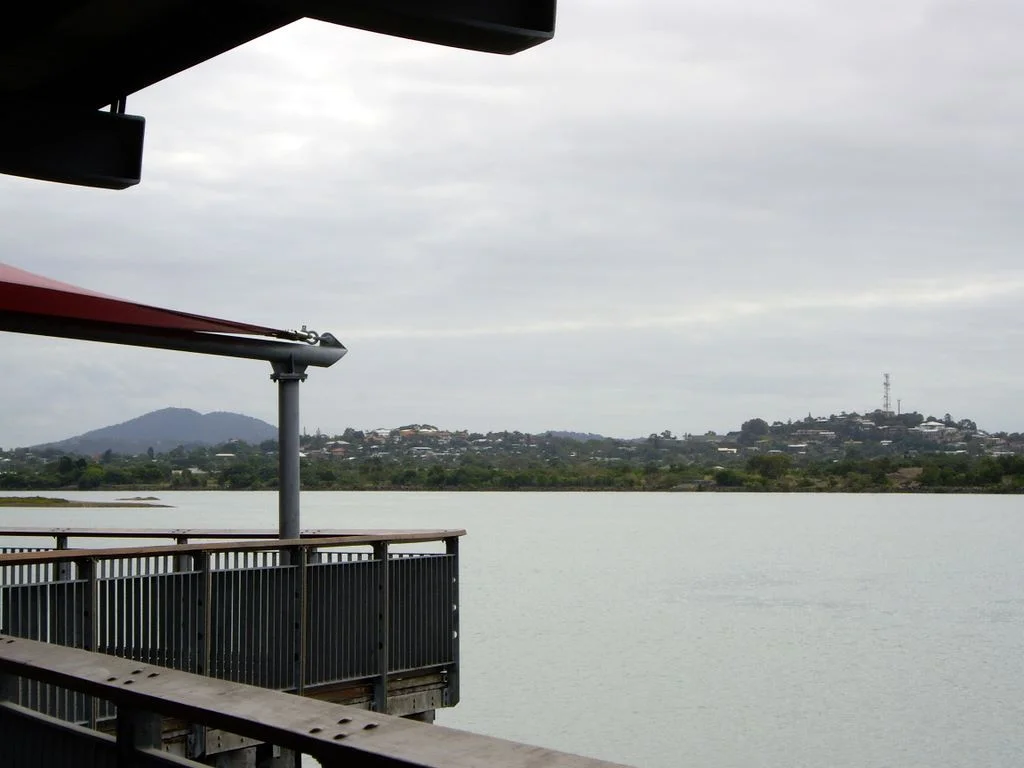

Mackay
The sweetness has a cost, and Mackay has never quite been allowed to forget it. This city on the Pioneer River once produced roughly a third of Australia's cane sugar, and the cane was first cut by tens of thousands of Pacific Islanders - many of them kidnapped or coerced from their home islands in a trade the era called blackbirding. Their descendants form the largest Australian South Sea Islander community in the country. To understand Mackay - its art-deco streetscape, its melting-pot festivals, its place as gateway to the Whitsundays and the rainforests of Eungella - you have to understand that its prosperity and its deepest wound grew from the same fields.
Yuwibara Country
Long before sugar, this was Yuwibara country - the homeland of the people who lived along the Pioneer Valley and the coast, their language closely tied to the Biri tongues of the region. When John Mackay led an overland party into the valley in 1860 looking for grazing land, he was the first European to enter a place that already had deep human history. The settlement that followed brought violence: through the 1860s, as colonists and the Native Police pushed onto Yuwibara land, the local Aboriginal people, in the words of one early chronicler, "did what they could to defend their country and their lives." That defence was met with terror and killing. The recognition was a long time coming - it was only in February 2020 that the Yuwibara people were granted Native Title over some 6,450 square kilometres, more than a century and a half after their dispossession began.
The People Who Cut the Cane
In 1865 the first sugarcane was planted in the Mackay district, and within twenty years the valley held more than thirty plantations and twenty-six mills. The labour that built them came from across the Pacific. From 1867 onward, Islanders - the era called them "Kanakas," a term now understood as part of the language of that exploitation - were brought from more than eighty islands, including what are now Vanuatu and the Solomon Islands. Some came under contract; many were deceived, enticed, or simply taken. They worked the cane in punishing heat for little or no pay, and by the mid-1880s they made up over a third of the district's six thousand people. These were not statistics. They were men and women torn from families and islands, who survived, married, raised children, and put down roots in a place not of their choosing - and whose endurance built the wealth that the plantation owners kept.
Boxing Day, 1883
The injustice was not only in the fields. On Boxing Day 1883, a race riot erupted at the Mackay racecourse. What began as bottles thrown between Islander workers and part of the European crowd ended when around fifty Anglo-Australian horsemen, swinging stirrup irons as weapons, galloped into the Islanders, knocking them down and riding over them. Officially two Islanders were killed; it was widely believed many more later died of their injuries. The aftermath compounded the cruelty: one white man was convicted of assault and served two months, while around thirty Islanders were imprisoned. Today Mackay is the acknowledged capital of Australian South Sea Islander culture, home to a community estimated at some five thousand people - many also carrying Aboriginal heritage, the fruit of generations of families embracing one another. The community remembers Boxing Day 1883 not as a footnote but as a wound that shaped them, carried now with quiet dignity into a city that has finally begun to honour their history.
Rubble Into Art Deco
In 1918 a tropical cyclone nearly erased Mackay. Hurricane winds and a vast storm surge destroyed around eighty percent of the town's buildings, and a bubonic plague outbreak added to the death toll. Communication lines were cut so completely that the outside world heard nothing for five days, and some assumed the city had simply ceased to exist. But Mackay rebuilt - and it rebuilt with style. The reconstruction reached for Art Deco and Spanish Mission architecture, Mediterranean lines suited to the tropics and glamorous with Hollywood association. The result is one of the finest art-deco streetscapes in Queensland: the clock-towered former post office, the Masonic Temple, the hotels of the 1930s. Once the railway arrived in 1924, Mackay became the fastest-growing town in the state, its population doubling between 1920 and 1940 on the strength of sugar, dairy, and a growing tourist trade.
River, Reef, and Rainforest
Modern Mackay wears its mix easily - Yuwi, South Sea Islander, Italian, Maltese, and more recently Filipino threads woven through one tropical city. Migrants from Italy and Malta began arriving from around 1891 to work the cane, and by the 1930s a third of Australia's Italian migrants lived in North Queensland. Along the Pioneer River, the Bluewater Trail links the Bluewater Lagoon and Quay past the historic Leichhardt Tree, an old gathering point for new arrivals. The marina shelters nearly five hundred berths beneath the rescued Pine Islet lighthouse. And the city opens onto wonders: the Pioneer Valley climbing to Eungella National Park, the longest stretch of subtropical rainforest in Australia, where wild platypus surface in the streams. Sugar made Mackay. The reef, the rainforest, and the resilience of its people keep it.
From the Air
Mackay sits at 21.14°S, 149.19°E on the 21st parallel, straddling the Pioneer River where it meets the Coral Sea, with the Clarke Range rising to the west and the cane fields of the Pioneer Valley spreading inland. The art-deco CBD, the river, and the harbour with its marina are clear landmarks; Mount Blackwood and the Eungella escarpment mark the western hinterland. Nearest airport is Mackay (YBMK / MKY) just south of the city; Hamilton Island (YBHM / HTI) and Proserpine / Whitsunday Coast (YBPN / PPP) lie to the north, with Rockhampton (YBRK / ROK) to the south. The climate is humid subtropical bordering tropical - the December-to-March wet season brings monsoonal lows and cyclones, so plan clear-weather approaches and watch for afternoon storm buildup.
Nearby Stories
- Eungella National Park 7.9 km away
- Brampton Island 13 km away
- Pine Islet Light 52 km away
- Brigalow Belt 86 km away
- Proserpine 88 km away
- Canal Creek Air Crash 213 km away
- Coral Sea Islands 235 km away
- Great Keppel Island 262 km away