Marabá, Pará
From orbit, the city draws a Y. Two rivers meeting - the Itacaiúnas running in from the west, the Tocantins flowing down from the south - converging near what locals call Velha Marabá, the Old Marabá, the historic core on the left bank. The confluence is the city's defining geography and its historical engine. It is why Portuguese colonizers noted the site in the sixteenth century. It is why the first permanent settlers arrived in 1894, three hundred years after that first noting. It is why Marabá is today the fourth-largest municipality in Pará and one of the most strategically positioned cities in the eastern Amazon: five highways converge at this Y, a rail line crosses it, and every significant economic activity in southeastern Pará passes through it at some point.
Son of Miscegenation
The city's nickname is Filho da Miscigenação - Son of Miscegenation - a name that compresses a complicated history into three words. The word Marabá itself comes from the Tupi Mayr-Abá, meaning the child of an indigenous woman and a white man. The Brazilian Romantic poet Gonçalves Dias wrote a poem with that title; a merchant named Francisco Silva named his trading post Casa Marabá after the poem. The trading post, on the banks of the Tocantins, became a commercial nucleus where rubber tappers sold their latex, fishermen their catch, hunters their game. The city grew out of that commerce. The first wave of settlers, in 1894, were political refugees led by Carlos Gomes Leitão, who had fled political violence in the northern province of Goiás. They established a camp downstream on the Itacaiúnas River, called it Burgo do Itacayúna, and within months were tapping rubber trees for the world market that was then consuming every ton of latex the Amazon could produce.
Five Cycles of Extraction
Marabá has experienced five distinct economic cycles, each building on the exhaustion of the one before. First came rubber, from about 1892 until the late 1940s, when Brazilian latex lost out to Southeast Asian plantation production. Then the Brazil nut cycle, which dominated mid-century. Between 1920 and 1940, diamonds pulled from the Tocantins added another layer. Starting in the 1970s, the discovery of Serra Pelada - the notorious open-pit gold mine where tens of thousands of garimpeiros worked in conditions documented by the photographer Sebastião Salgado - brought gold fever. And then, beginning in the 1970s with the Grande Carajás project, came the current cycle: iron, steel, and industrial-scale mining tied to the Carajás Railway that runs through Marabá to carry ore from Parauapebas to the Atlantic coast at São Luís. In 1988 the first two steel mills began producing pig iron. By 2008, at the peak, eleven steel-metallurgical plants operated in the Marabá industrial district.
1980 and the Seventeen Meters
In 1980 the Tocantins rose 17.42 meters. It was the biggest flood in the city's history, and it remade the urban geography. The traditional core of Velha Marabá had been built low on the bank, vulnerable to exactly this kind of event. After the flood, city planners redrew the expansion map. New planned districts - Cidade Nova and Nova Marabá - were laid out on higher ground. São Félix and Morada Nova emerged later in the decade. The city today is organized into six urban centers linked by highways and bridges, a polycentric structure unusual for a Brazilian city of its size and the direct legacy of that one flood. In 1987, the Massacre of St. Boniface unfolded on the Mixed Bridge of Marabá: miners from Serra Pelada had blocked access to protest the closing-down of their pit, and a military police battalion sent to clear the bridge opened fire on the protesters. Nine people died that day, officially - a figure most historians suspect undercounts the actual toll.
The Almost-Capital
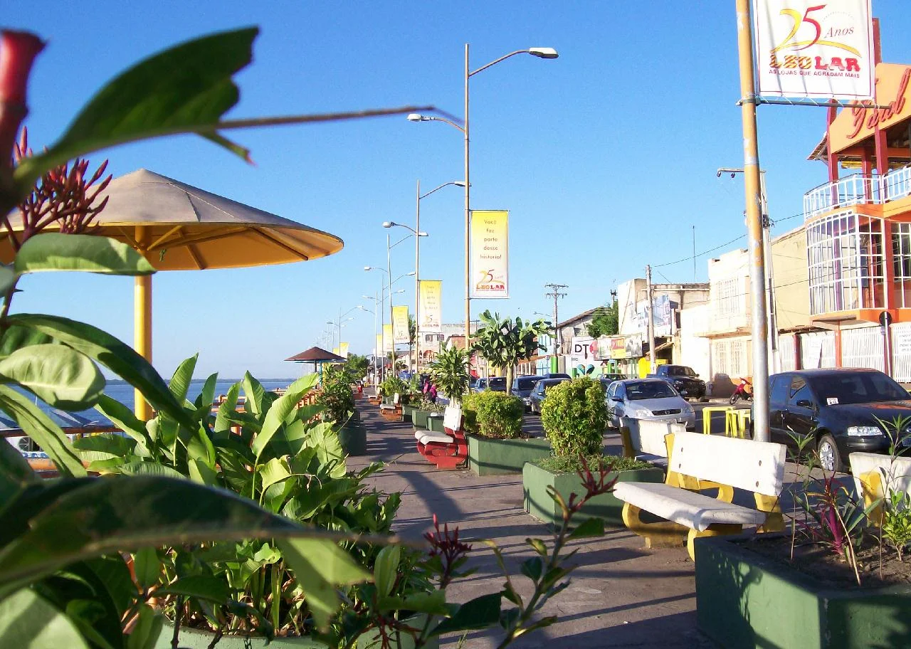
On December 11, 2011, the citizens of southeastern Pará voted in a plebiscite on whether to split their state. The proposal was to carve out a new state called Carajás, with Marabá as its capital. The vote in Marabá itself: 93.26 percent in favor. The proposal failed at the state level, but the local enthusiasm said something about how the city sees itself - as a regional capital that has outgrown its subordinate relationship to Belém, five hundred and fifty-three kilometers away on the coast. Today Marabá is considered the first locality in the interior of the Amazon with the profile of a polo-universitário, a university hub city, hosting campuses of the Federal University of Southern and Southeastern Pará, Pará State University, and the Federal Institute of Pará. The Tucunaré Beach, emerging each year from the Tocantins in April and peaking in July, draws visitors to what is otherwise a frontier commerce town. The beach gets its name from the peacock bass that swim its waters - a fish that is itself an emblem of the Amazon's strangeness to outsiders, and its continuity to the people who live there.
From the Air
Located at 5.37 degrees S, 49.12 degrees W at the confluence of the Tocantins and Itacaiúnas rivers in southeastern Pará. Served by João Correa da Rocha Airport (SBMA). Best viewed from 3,000-6,000 feet AGL - the Y-shape of the two rivers meeting and the fan of six distinct urban districts make the city unusually legible from altitude. The Carajás Railway crosses the Tocantins here on the Mixed Bridge, a major regional infrastructure landmark.
Nearby Stories
- Serra Pelada 37 km away
- São Geraldo do Araguaia Environmental Protection Area 78 km away
- Serra dos Martírios/Andorinhas State Park 81 km away
- Carajás National Forest 102 km away
- Xingu-Tocantins-Araguaia Moist Forests 149 km away
- Juscelino Kubitschek de Oliveira Bridge 177 km away
- Santa Inês 382 km away
- Ver-o-Peso 410 km away