Osnabrück Canal
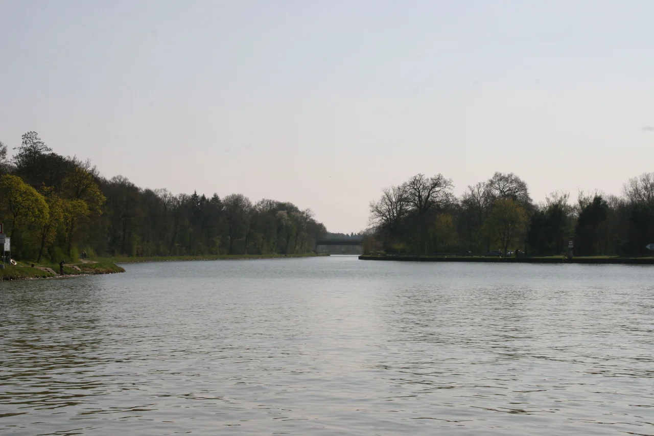
In April 1945, British tanks from the 11th Armoured Division reached a stretch of dark water cutting through farmland north of Osnabrück and had to find a way across. The canal had not been built for them, or for any war. It had been dug a generation earlier, between 1910 and 1915, for a more prosaic purpose: the River Hase that flowed through Osnabrück was too shallow and too unruly to carry barges, and the city was being left out of Germany's expanding inland-shipping economy. The solution was a 14.5-kilometre artificial waterway running south from the Mittelland Canal, almost parallel to the unnavigable Hase, never more than about a kilometre from it. The result is one of those quiet German pieces of infrastructure that does its job so well it almost disappears from view.
A Branch Off the Main Line
The Mittelland Canal is Germany's east-west spine, an artificial river that connects the Ems, Weser, and Elbe systems and lets coal barges from the Ruhr reach Berlin without ever touching natural rapids. At kilometre 30.39 of the Mittelland, in the village of Bramsche-Pente, a junction branches south. This is the start of the Stichkanal Osnabrück - Stichkanal meaning a dead-end branch, a spur, a side-cut. It runs through fields and woods for about 2.5 kilometres before crossing into Wallenhorst, where a yacht harbour now collects pleasure boats that would have astonished the canal's original engineers. Their concern was not yachts. It was iron and timber and grain.
Locks and Stones
Two locks raise the water level along the run. The first, Hollager Schleuse at kilometre 7.2, lifts barges into the higher pound that carries them southeast into Osnabrück. The second, Schleuse Haste at kilometre 12.7, lifts them once more before the federal waterway ends at kilometre 13 and the city port takes over. Between the locks, the canal threads past the boathouses of the Osnabrück water sports clubs on a side branch that requires permission to enter. The whole thing is classified as a Class IV waterway and falls under the Minden Water and Shipping Office - the kind of bureaucratic detail that quietly determines what size of barge can come up the channel on any given Tuesday.
The Harbour at the End
The canal does not just reach Osnabrück. It enters the city's industrial flank in a quarter literally called Hafen, meaning harbour. First comes the Piesberger Hafen, named for the great Piesberg quarry just to the north - for decades, basalt and Carboniferous sandstone from the Piesberg's exhausted face moved out of Osnabrück on barges that began their journey at this dock. Then comes the Ölhafen, the oil harbour, where tanker barges still deliver mineral oils that supply the city. Past Schleuse Haste, the Stadthafen - the municipal port - takes over for the final 1.5 kilometres, a long rectangular basin where freight is loaded, unloaded, and trans-shipped. The basin is the terminus. Beyond it, water turns to land and the city of Osnabrück resumes.
An Incident in April 1945
The canal earned a brief place in war histories on the day the 11th Armoured Division reached it. The British advance across northwestern Germany in the spring of 1945 hinged on these waterways - each canal had to be bridged or forded under fire, sometimes by improvised means, often at cost. Crossing the Stichkanal Osnabrück was one of dozens of such episodes that compose the long story of that month. The water that had been dug to move coal and lumber became, for an afternoon, a tactical obstacle. Then the war moved past, the bridges were repaired, and barges resumed their slow procession between the Mittelland and the Stadthafen, doing what the canal had been built to do.
From the Air
The Osnabrück Canal lies at 52.39 degrees N, 7.96 degrees E, running roughly north-south between the village of Bramsche-Pente and the city centre of Osnabrück in western Lower Saxony. From altitude it appears as a dead-straight dark line set against the meandering, paler River Hase a kilometre to the east. The junction with the much longer Mittelland Canal is a clear T-shape near Bramsche. Nearest airport is Münster Osnabrück International (EDDG), about 25 km southwest. Best viewing altitude 3,000-5,000 feet; the parallel canal and river make a memorable two-line landmark in clear weather.
Nearby Stories
- Steinfurt 7 km away
- Siege of Lingen (1597) 7.3 km away
- Bad Iburg 11 km away
- Haren, Germany 12 km away
- Cloppenburg (district) 12 km away
- Gardelegen Massacre 202 km away
- Ludwigslust Palace 214 km away
- Memleben Abbey 235 km away