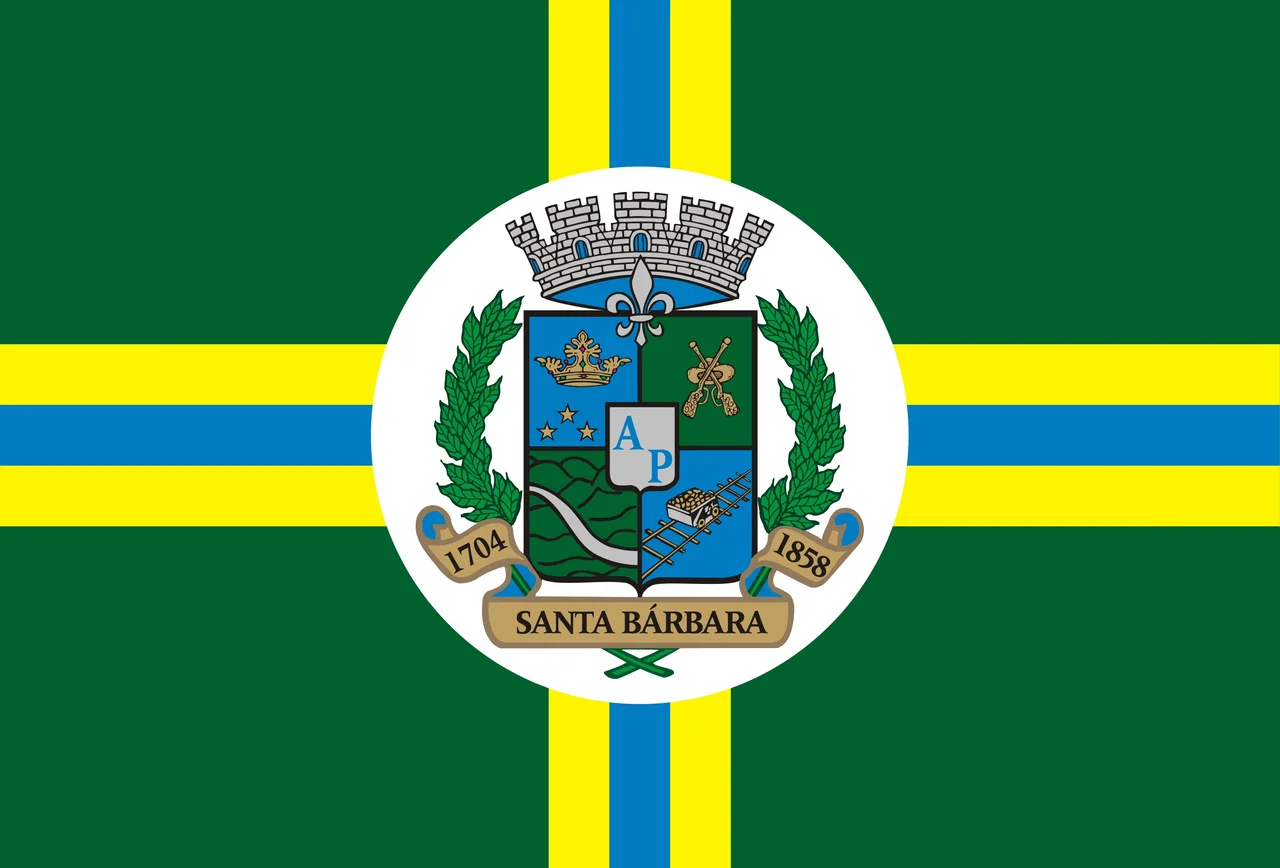
Santa Bárbara, Minas Gerais
Antônio Pereira came from São Paulo looking for gold, and he found it in a river in 1704. He founded two hamlets in succession - Brumal first, Santa Bárbara second - and by a quirk of local tradition, each anniversary is still observed on the eve of the other's. This is the founding of the town that bears the name of the patron saint of artillerymen and miners, a town that became one of the oldest on the Estrada Real, the imperial gold road from Minas Gerais to Rio de Janeiro. Three hundred and twenty years later, Santa Bárbara still sits at the foot of the Serra do Caraça - a ridge of peaks rising sharply from the plateau - its baroque churches, red roofs, and stone streets preserved in the bucolic bowl of the mountains.
Gold in the Ribbon River
In late 1704, Pereira found alluvial gold and lodes of precious stones along the Santa Bárbara River. He established the settlement on 4 December of that year, calling it the "Hamlet of St. Anthony of the Santa Bárbara River." In 1713, construction began on the first church of St. Anthony. The settlement grew because it lay on the route between the Portuguese Corte in Rio de Janeiro and the central and northern mines of Minas Gerais - a natural way station for gold caravans, tax collectors, smugglers, and the enslaved workers who carried the wealth on their backs. In 1817, the German naturalists Carl Friedrich Philipp von Martius and Johann Baptist von Spix passed through on their great scientific expedition across Brazil, documenting the plants and animals of the Mata Atlântica. Santa Bárbara was elevated to town status on 15 March 1839 and became a county in 1858 as Santa Bárbara do Mato Dentro.
The Church Ataíde Painted
The Matriz de Santa Bárbara, dedicated in 1724 to St. Anthony, still stands at the heart of the town. It is colonial baroque of the Minas Gerais school - whitewashed walls, carved and gilded interior woodwork, twin bell towers. What distinguishes it is the ceiling. Master Manoel da Costa Ataíde, the most celebrated baroque painter of colonial Brazil, painted the Matriz's ship-shaped ceiling (a "pintura em perspectiva," meant to deceive the eye into seeing depth). Ataíde is more famous for his work in Ouro Preto and Mariana, where his Virgins and cherubs have mestiço features rather than the European blonds of his European contemporaries - a quietly revolutionary gesture. His presence in the Santa Bárbara ceiling places the church in the same artistic family as those far grander pilgrimage sites. The ceiling was recently renovated. It repays close looking.
A President from the Hills
Afonso Pena was born in Santa Bárbara in 1847, the son of a Portuguese merchant father and a Mineira mother. He trained as a lawyer in São Paulo, served as a minister and state governor during the early republic, and in 1906 became the sixth President of Brazil. His administration presided over federal expansion of railways, the development of the country's coffee economy, and a handful of financial reforms. He died in office in 1909, three years into his term. His presidency is not remembered for great events; it is remembered for quiet competence and the reformist instincts of a man who had grown up watching a small gold town try to govern itself. The Casa de Afonso Pena in Santa Bárbara preserves artifacts of his life. Small towns produce presidents more often than history textbooks admit.
Iron and Honey
The gold ran out, in the way gold always does, but the hills kept producing. Today Santa Bárbara's economy rests on iron ore mining, the staple industry of the entire Quadrilátero Ferrífero (Iron Quadrangle) of central Minas Gerais. The open-pit mines cut into slopes that were once forested, producing concentrate that flows by rail and road to the steel mills of the Vale do Aço to the east and to the port of Vitória on the Atlantic. Alongside the ore, the town produces honey - the hives in the hills yield a crop valued locally and sold across the region - and charcoal, much of it destined for the same iron industry that consumes the hillsides. Economic life here is still shaped by what lies in the ground and what grows above it.
The Mountain and the Park
Santa Bárbara's setting is what visitors remember. The Serra do Caraça rises to the east - a stone ridge whose highest peaks shelter a famous Catholic boarding school and sanctuary founded in the eighteenth century, now a nature reserve and guesthouse. To the west, the municipality contains about 45 percent of the Serra do Gandarela National Park, created in 2014, which protects 31,270 hectares of remnant Atlantic Forest and the water-storing quartzite aquifers that supply Belo Horizonte. The town itself holds four districts - Florália, Barra Feliz, Brumal, and Conceição do Rio Acima - plus a long list of smaller communities scattered through the hills. February is the warmest month (average 20 degrees C); July the coldest at 13.6 degrees. In between, the town does what it has done for three centuries: keep its churches, mind its bees, and watch the mountain stand above it all.
From the Air
Coordinates 19.96°S, 43.41°W place Santa Bárbara 98 km east of Belo Horizonte, in the Quadrilátero Ferrífero. Recommended viewing altitude 4,000-6,000 feet AGL to appreciate the town's position at the foot of the Serra do Caraça (peaks to 2,072 m) and the surrounding iron-ore country. Nearest airport is Belo Horizonte/Pampulha (SBBH); Tancredo Neves International (SBCF) is 100 km northwest. The Serra do Gandarela National Park dominates the western horizon.
Nearby Stories
- Legislative Assembly of Minas Gerais 2.3 km away
- Iron Quadrangle 9.4 km away
- Morro Velho 15 km away
- Sumidouro State Park 16 km away
- Coronel Fabriciano 33 km away
- Robert Quayle (1814 ship) 37 km away
- Crucilandia 45 km away
- Rio Doce State Park 50 km away