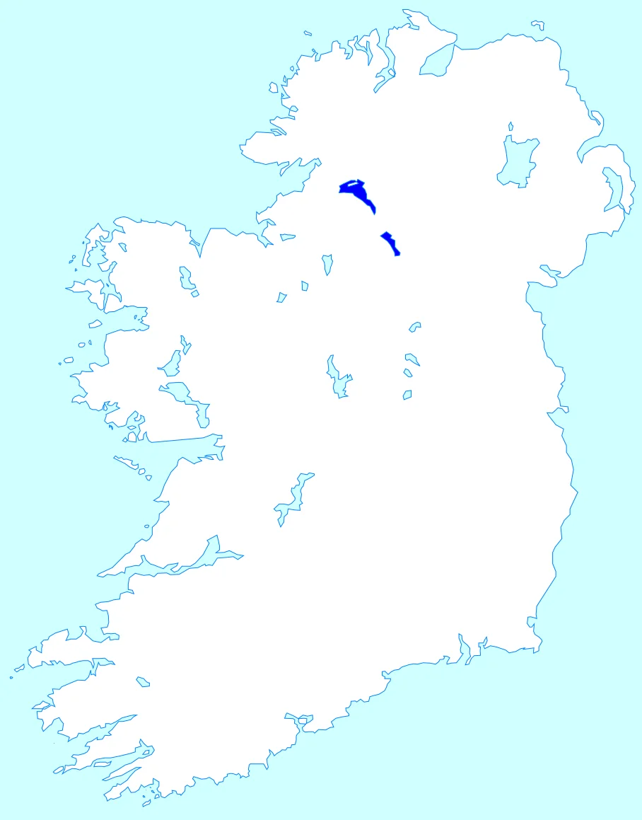

Shannon-Erne Waterway
In June 1989, the Taoiseach Charles Haughey announced that the governments of the Republic of Ireland and the United Kingdom had decided to make the restoration of an obscure, derelict Victorian canal in the Irish midlands their flagship cross-border project. At that point the canal had not carried a commercial boat in over a hundred years. It crossed the border between the Republic of Ireland and Northern Ireland in the middle of the Troubles. It had originally been built between 1846 and 1860 as the Ballinamore and Ballyconnell Canal, and its first phase had been so badly designed and so chronically underused that one of its own trustees described the whole project as 'one of the most shameful pieces of mismanagement in any county.' Five years later, the restored sixty-three-kilometre canal opened to traffic on 23 May 1994 - on time, within its thirty-million-pound budget, and almost immediately one of the most popular pleasure-boating routes in Europe.
Sruth Grainne
The first recorded name of the waterway was not the Shannon-Erne, and not even the Woodford, but Sruth Grainne - in Irish, 'the Gravelly River' or 'the Gravelly Stream.' Its earliest surviving mention is in a Gaelic poem composed about 1291. The Annals of Loch Ce mention it under that name in 1457. The 1609 Plantation of Ulster baronial map for the Barony of Loughtee in County Cavan labels the river Graine Flumen - 'Graine River' in Latin. After the Cromwellian settlement in the 1650s, the river was renamed the Woodford after the Woodford demesne in Leitrim. The Taylor and Skinner Maps of the Roads of Ireland in 1777 show it under that name. The grand idea of joining the great river systems of Ireland by canal - the Shannon, the Erne, and Lough Neagh - was a Georgian and early-Victorian obsession that produced several brilliant canals and several disasters. This was a disaster. The first attempt to link the Erne and the Shannon along the Woodford River was made in 1780 with a single lock built near Carrowl by Richard Evans, financed by a thousand-pound Irish parliamentary grant. The project then ran out of money.
The Famine Canal
Work on the proper canal - the Ballinamore and Ballyconnell, designed by John McMahon for the Office of Public Works under the engineer William Mulvany - began in 1846, the worst year of the Great Famine. It was conceived partly as famine relief: at its peak the project employed over seven thousand labourers. The scheme combined drainage with navigation, which sounded efficient and turned out to be a curse - drainage wanted low water, navigation wanted high water, and the canal was endlessly compromised between them. The first boats reached Ballinamore in 1858. The official handover happened on 4 July 1860. By 1859 the project had cost £276,992, almost three times the original estimate, and there was a public enquiry to apportion blame. The result was a canal that almost no one used. Between 1860 and 1869 - the first nine years of operation - exactly eight boats are recorded as having used the canal. Total tolls collected over those nine years: eighteen pounds. The engineer J. P. Pratt simply stopped maintaining it after 1865. The trustee John Grey Vesey Porter described a three-week steamer journey along the canal in 1868, kept afloat only by Pratt walking ahead and manually transferring water from one pound to the next.
Closed by a Railway
In 1887 the Cavan and Leitrim Railway opened in the area. The railway company was so confident the canal would never be used again that they built their bridges low across the existing waterway, deliberately preventing future navigation. The railway was not a commercial success either. The canal lay moribund for almost a century. The Shuttleworth Commission recommended in 1906 that the upper lock gates be repaired to prevent further structural damage; there was no money. By 1948 the navigation trustees had ceased to function and the local authorities had picked up the bridge repairs. Then in the 1960s, with the growing popularity of pleasure-boating on the Shannon, a small group of enthusiasts began to wonder. By 1969 Leitrim Council and the Inland Waterways Association of Ireland were asking for a survey. In 1973 at the Sunningdale Conference - the first attempt at power-sharing in Northern Ireland - Leslie Morrell inserted the Waterway into a list of possible cross-border works. It sat there for fifteen years. In 1988 the International Fund for Ireland funded a proper feasibility study, and in June 1989 Haughey made his announcement.
Cross-Border Project
Work began in November 1990. It was, as the engineers said, less a restoration than a new navigation along the line of the old one - the original canal had never really been finished in the first place. The eight locks between Lough Scur and Lough Erne were rebuilt as new concrete structures widened to 19.8 feet but faced with stones from the original Victorian locks. The eight locks descending to the Shannon were repaired in their original 16.5-foot width. All locks were made fully automatic, operated by boat crews with smart cards. The canal opened on 23 May 1994 at Corraquill Lock just south of Teemore in Fermanagh, with Dick Spring - the Irish Foreign Minister - and Sir Patrick Mayhew - the Northern Ireland Secretary of State - cutting the ribbon together. It was a few months before the IRA ceasefire and four years before the Good Friday Agreement. The waterway has its own flag, the 'Erne flag,' rather than the Irish tricolour or the Red Ensign. One unintended consequence: the zebra mussel, an invasive species, used the new canal to spread from the Shannon system into the Erne. In summer the locks are full of hire cruisers from Carrick-on-Shannon and Enniskillen. Sixteen locks. Sixty-three kilometres. A border that, on the water at least, no longer feels like one.
From the Air
The waterway runs roughly 63 km from Leitrim village (on the Shannon, around 54.0 N, 8.06 W) east-northeast through Lough Scur, Ballinamore, and Ballyconnell, to Upper Lough Erne in Fermanagh (around 54.2 N, 7.45 W). The midpoint at Lough Scur is approximately 54.05 N, 7.81 W. The chain of lakes - Lough Scur, St John's Lough, Garadice Lough - is the most useful aerial reference. Best viewed at 3,000-5,000 feet. Nearest airports: Ireland West Knock (EIKN) about 90 km west, Sligo (EISG) about 60 km northwest, Belfast City (EGAC) about 130 km east-northeast.
Nearby Stories
- Drumcliff Monastery 3.8 km away
- Castlerea 4.8 km away
- Ballymote 6.6 km away
- Cavan 7 km away
- Caves of the Tullybrack and Belmore Hills 7.5 km away
- St Mel's Cathedral 10 km away
- Castlepollard Mother & Baby Home 14 km away
- Attack on UDR Clogher Barracks 15 km away