
Yenikapı
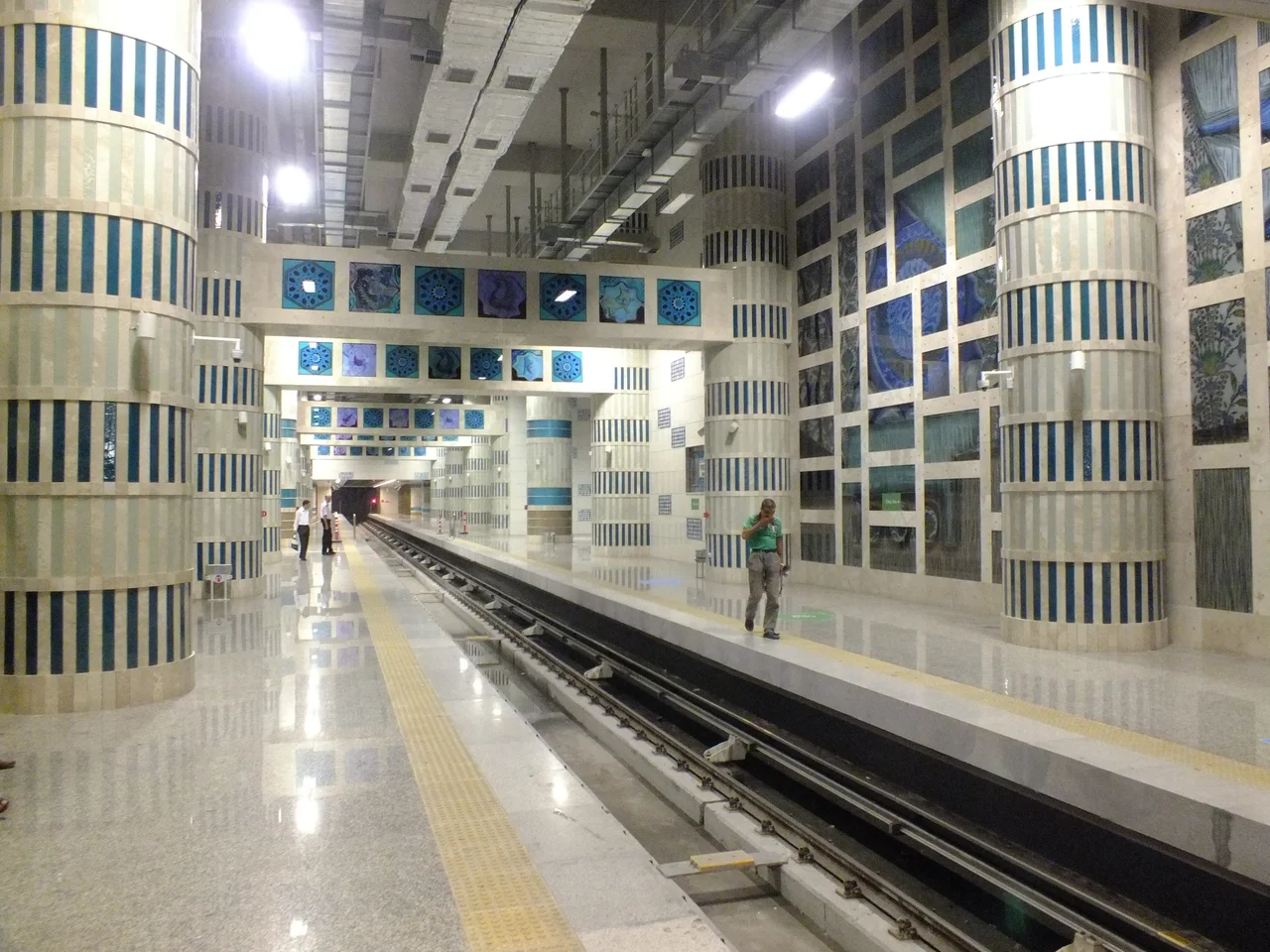
The construction crews thought they were building a subway station. In 2004, as excavators bit into the earth along Istanbul's Marmara shoreline in the Yenikapı neighborhood, they kept hitting things that weren't supposed to be there — timber, ceramic, bone. Then came the ships. Thirty-seven of them, preserved in the silted mud of a harbor that had been sealed and forgotten since the medieval era. What began as infrastructure became one of the largest archaeological excavations in European history.
The Harbor Theodosius Built
Between the 5th and 10th centuries, the Harbour of Theodosius served as Constantinople's busiest commercial port. While the city's famous Golden Horn inlet handled diplomatic and military traffic, the Theodosian Harbour on the Marmara shore handled the grain, wine, and oil that fed the empire's capital. Ships arrived from across the Mediterranean, discharged their cargoes, and eventually sank — whether from storms, accidents, or deliberate scuttling when the harbor began silting up. Over centuries, the shoreline crept outward, and the harbor disappeared entirely beneath layers of sediment. When the Ottomans rebuilt the city after 1453, no one thought to look underneath. The harbor stayed buried for roughly a thousand years, perfectly preserved by the anaerobic mud.
Thirty-Seven Ships
The vessels pulled from the mud at Yenikapı represent an extraordinary archive of Byzantine seafaring. Dating from the seventh through eleventh centuries AD, they show a shipbuilding tradition in transition. The older ships used unpegged mortise-and-tenon joints, a technique inherited from antiquity, to fasten their lower planks together. By around AD 900, the builders had shifted to coaks — a different fastening method that had appeared on only one known Byzantine wreck before Yenikapı, found off the coast of Bozburun. The round ships of the Byzantine period also broke from the classical tradition in a more fundamental way: instead of the wine-glass hull profiles built with alternating half-frames and floor timbers, they were flat-floored, with inline framing. Archaeologists from Istanbul University and the Institute of Nautical Archaeology in Bodrum have spent years conserving these vessels, whose construction details are rewriting the history of medieval Mediterranean shipbuilding.
Eight Thousand Years, Compressed
The ships were not all Yenikapı gave up. As excavations deepened, workers found something even older: four prehistoric graves containing human skeletons estimated to be 8,000 years old, placing permanent settlement at this corner of Istanbul in the Neolithic era, thousands of years before the city of Byzantium was founded. Animal remains from the Byzantine period also emerged, including cat skeletons discovered in 2020 — a reminder that the people who worked and lived around this harbor kept the same animals humans have kept for millennia. Fragments of the original city walls also appeared, structures believed to be the first defensive circuit of Byzantion, built when the settlement was still a small Greek colonial town rather than the capital of an empire.
The City Above the Dig
Construction on the Yenikapı Transfer Center eventually resumed around the excavations, and the station now serves as a major interchange in Istanbul's metro network, connecting the M1 and M2 lines and the Marmaray rail link — the tunnel that finally stitched together the European and Asian sides of the city beneath the Bosphorus. Out front, an artificial extension of land into the Sea of Marmara has created Yenikapı Square, a vast open plaza that hosts large public gatherings. The dig that slowed everything down for years ultimately produced a discovery that no amount of infrastructure planning could have anticipated. Istanbul has always been a layered city; at Yenikapı, the layers run deeper than almost anywhere else.
From the Air
Yenikapı sits on Istanbul's Marmara shoreline at approximately 41.00°N, 28.95°E, on the southern edge of the historic peninsula. From the air at 3,000–5,000 feet, the wide Yenikapı Square and the ferry terminal are clearly visible along the waterfront, with the Sea of Marmara stretching south and the dense fabric of Fatih district rising behind. Istanbul Airport (LTFM) lies roughly 35 km to the northwest; approach from the west gives a sweeping view of the entire peninsula and the Golden Horn. On clear days the Theodosian Land Walls are visible running north–south a few kilometers inland.
Nearby Stories
- Kocaeli Peninsula 7.6 km away
- Second Battle of Çatalca 11 km away
- Istanbul's Rural Outskirts 14 km away
- MV Struma 20 km away
- HMAS AE2 36 km away
- Bursa 66 km away
- Sangarius Bridge 71 km away
- Januarius MacGahan 101 km away